
About US
The RS&GIS program at the Asian Institute of Technology is designed to provide a comprehensive understanding of Remote Sensing and Geographic Information Systems, emphasizing both theoretical knowledge and practical applications. With a focus on space technology, students gain expertise in capturing and analyzing digital spatial data through airborne and spaceborne sensors, while also addressing contemporary challenges such as big geospatial data handling and cloud-based applications. The program covers fundamental and advanced topics, including earth energy interaction, geostatistics, UAV data acquisition and processing, InSAR processing, GNSS technology, WebGIS, and the integration of GIS, remote sensing, and GNSS for diverse applications.
Remote Sensing and GIS
What’s your interest? If you are interested in being better in managing spatial data (develop tools and techniques) and spatial resources (applications) using the remote sensing and GIS technology and thinking of studying further, let join us to study at the RS&GIS FoS. However, future development of the RS&GIS FoS emphasis towards technological lines (tools and techniques).
What should be your background? A variety of backgrounds in various environmental sciences as well as computer sciences and engineering are accepted. Previous experience in the subject is not required.
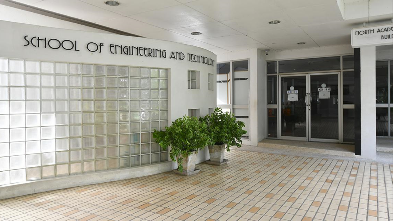
Where is RS&GIS FoS located? The RS&GIS FoS is located on the south western side of central Academic Building. To view the location map, please click here
What’s the role of RS&GIS FoS?
Technology Partner
Technology Developer
KEYCOURSES
- Geographic information Systems
- Remote Sensing
- Digital Image Processing in Remote Sensing
- Web GIS Technology
- Introduction to Global Navigation Satellite Systems
- Principles and Application of InSAR
- Geospatial Modeling for Environment
- Free Open Source for Software and for Geospatial Analysis
- Remote Sensing Data Analysis
- Positioning and Location Based Services Technology
- Advance Spatial Analysis Methods
- Unmanned Aerial Vehicle Application and Processing